SP Devices
Open menu
Open search
SP Devices
|
Home
|
Applications
|
LiDAR - Light Detection and Ranging
Image
Model
Resolution
Channels
Sampling Rate
Coupling
Input Bandwidth
ENOB max
Interface
ADQ3x-USB
12-bit
1
2
1 to 10 GSPS
DC
2.5 GHz
11.6 bits
USB 3.2
ADQ35
12-bit
1
2
10 GSPS
5 GSPS
DC
2.5 GHz
8.4 bits
PCIe, USB 3.2
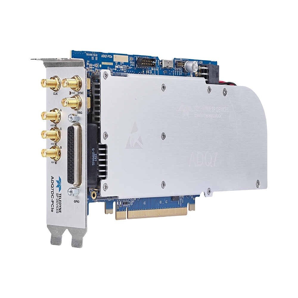
ADQ7DC
14-bit
1
2
10 GSPS
5 GSPS
DC
3 GHz
9.1 bits
PCIe, PXIe, USB 3.0, 10GbE
ADQ35-PDRX
12-bit
2
5 GSPS
DC
2 GHz
11.0 bits
PCIe, USB 3.2
ADQ32-PDRX
12-bit
1
2.5 GSPS
DC
760 MHz
11.6 bits
PCIe, USB 3.2
ADQ32
12-bit
1
2
5 GSPS
2.5 GSPS
DC
2.5 GHz
9.2 bits
PCIe, USB 3.2
ADQ33
12-bit
2
1 GSPS
DC
1 GHz
9.4 bits
PCIe, USB 3.2
ADQ33-PDRX
12-bit
1
1 GSPS
DC
760 MHz
11.5 bits
PCIe, USB 3.2
ADQ214
14-bit
2
400 MSPS
DC,AC
800 MHz
11.0 bits
PXIe, USB 2.0
SDR14TX
14-bit
2
2 GHz
DC
Up to 2 GHz
N/A
PCIe, PXIe
ADQ36
12-bit
4
2
2.5 GSPS
5 GSPS
DC
2.5 GHz
9.0 bits
PXIe
ADQ30
12-bit
1
1 GSPS
DC
1 GHz
9.4 bits
PCIe, USB 3.2
ADQ7WB
12-bit
2
5 GSPS
AC
6.5 GHz
8.7 bits
PCIe, PXIe
ADQ1600
14-bit
1
1.2 GSPS
AC
680 MHz
11.0 bits
PCIe, PXIe, USB 3.0
ADQ1600TD
14-bit
1
1.6 GSPS
AC
680 MHz
10.5 bits
PCIe, PXIe, USB 3.0
ADQ214-DCLN
14-bit
2
400 MSPS
DC
100 MHz
10.5 bits
PXIe, USB 2.0
DPS7-PCIe
12-bit
Up to 14
1 to 10 GSPS
DC, AC
Up to 9 GHz
11.6 bits
PCIe
ADQ35-INT X 2
12-bit
1
20 GSPS
DC, AC
Up to 9 GHz
8.8 bits
PCIe
ADQ12DC
12-bit
2
4
1 GSPS
DC
700 MHz
9.2 bits
PCIe
* ENOB is computed from idle channel noise with terminated input for PDRX models
×
Compare Products
Model
Resolution
Channels
Sampling Rate
Coupling
Input Bandwidth
ENOB max
Interface
Close